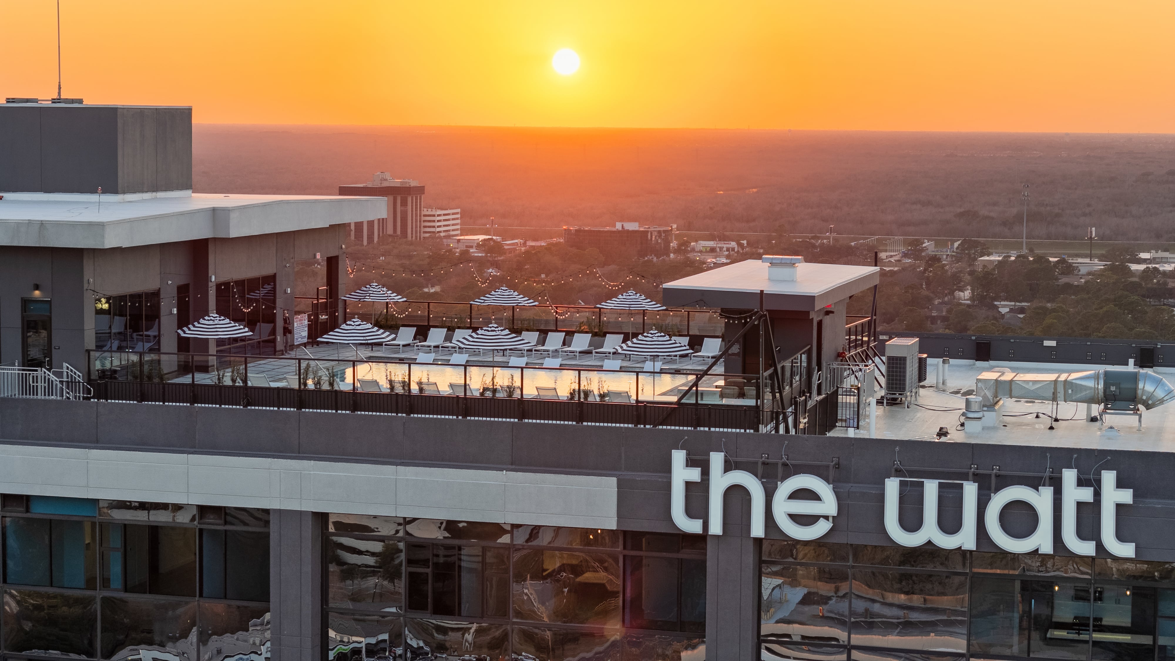
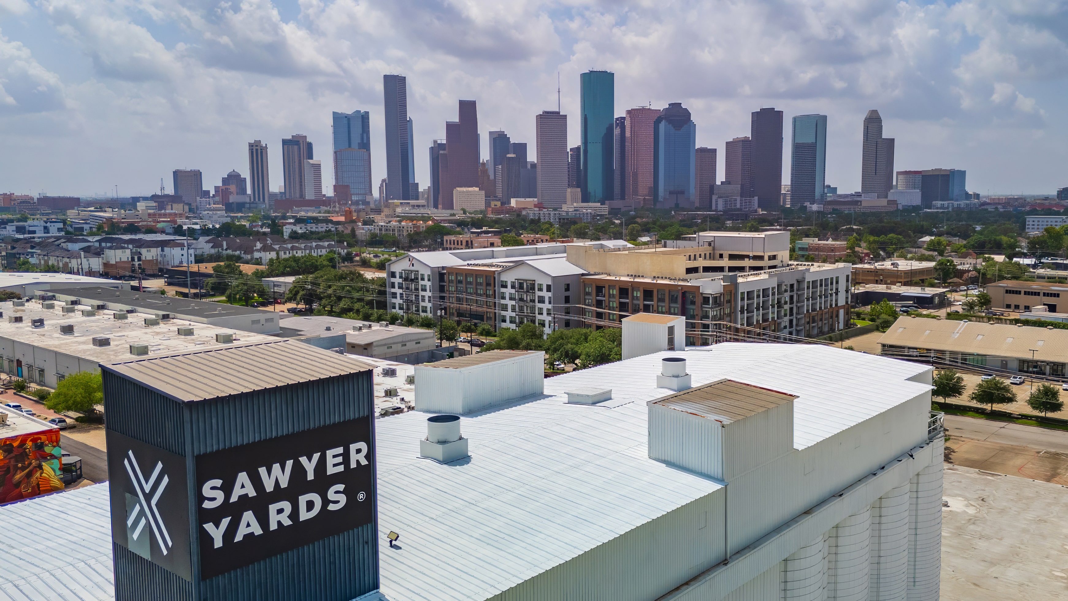
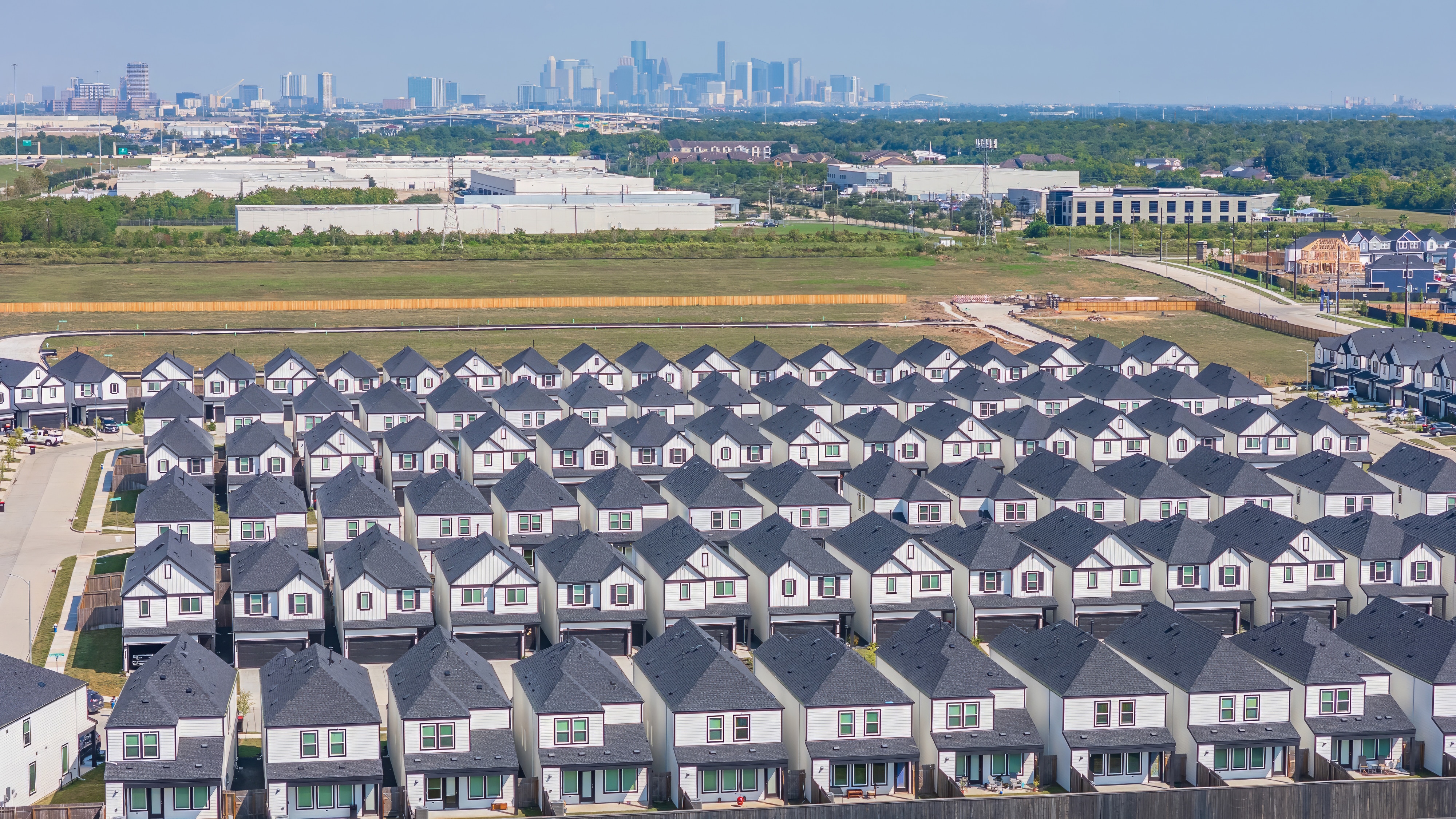
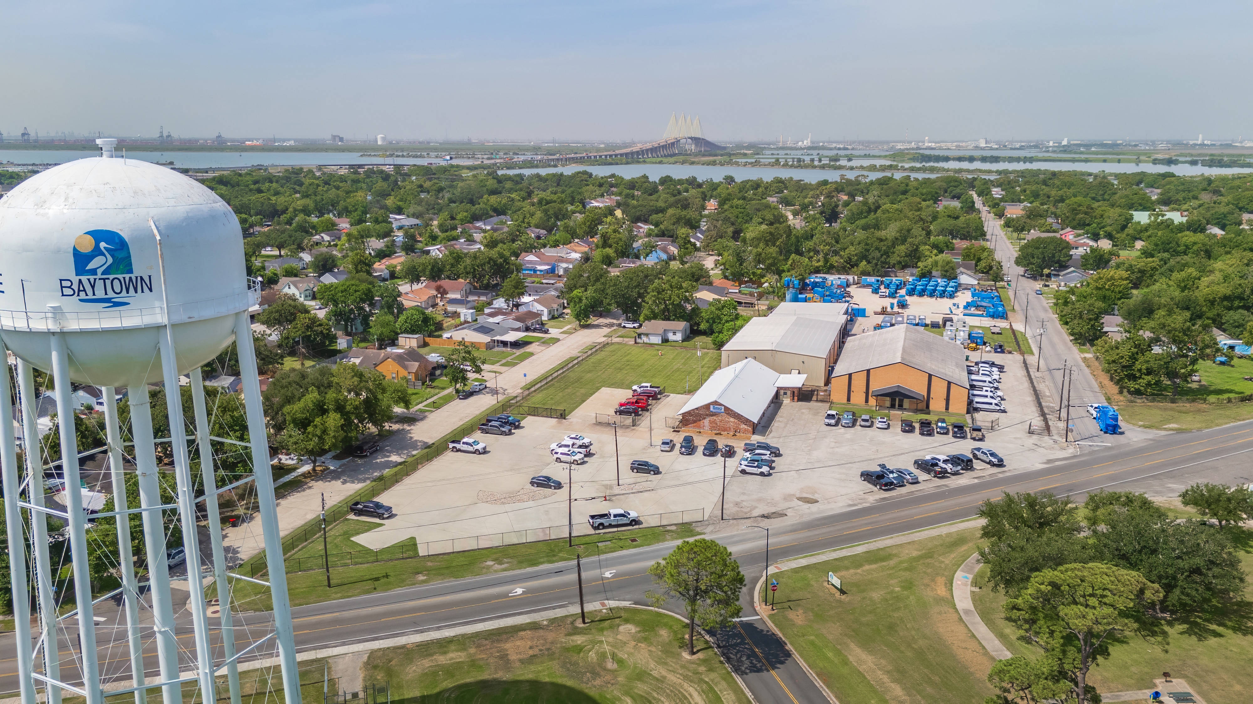
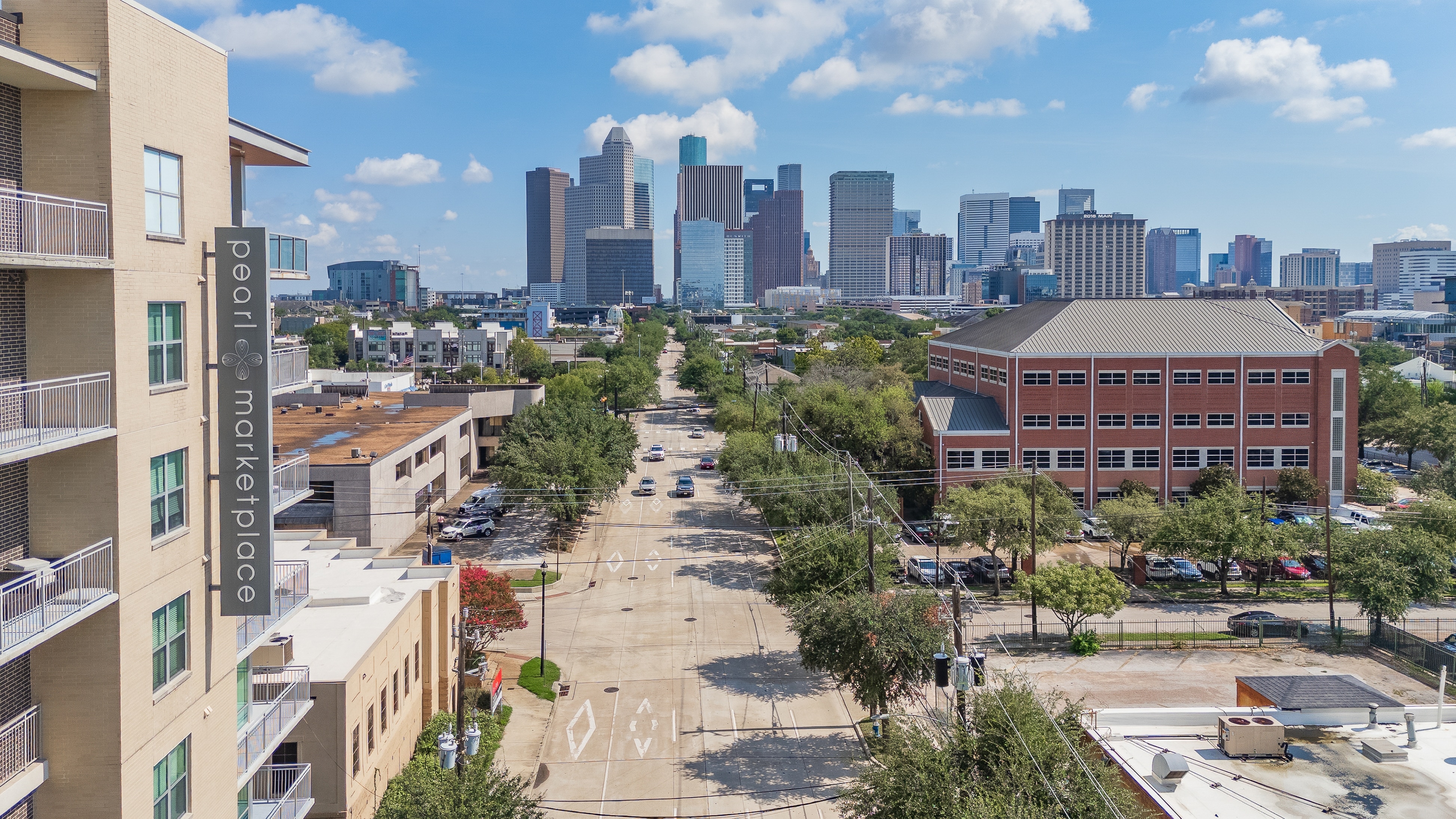
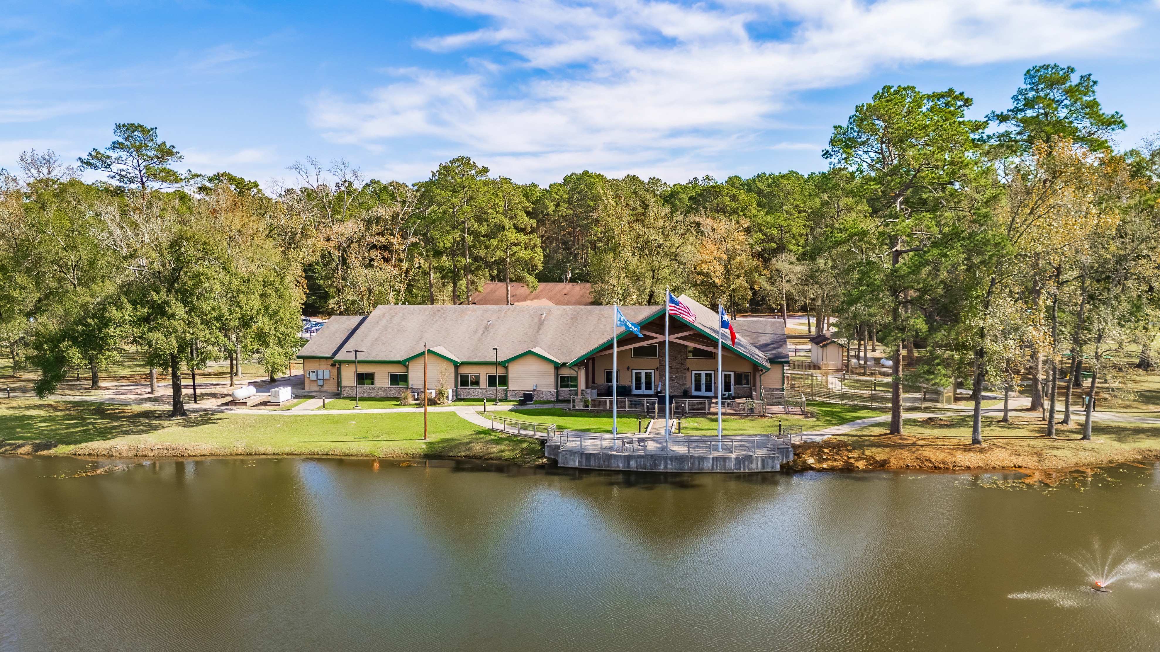
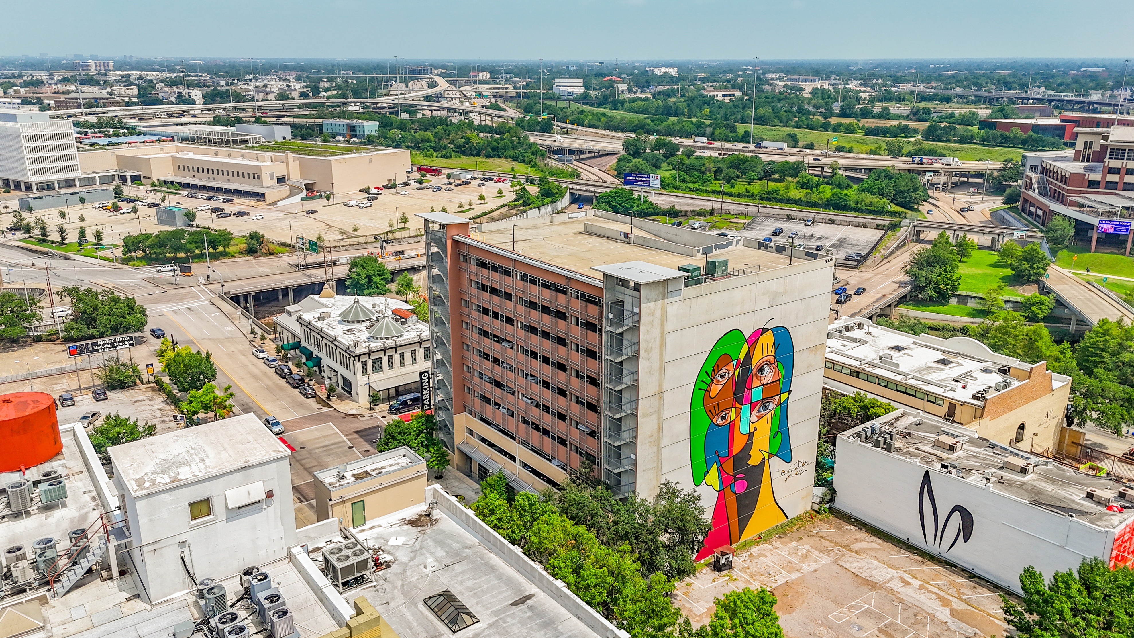
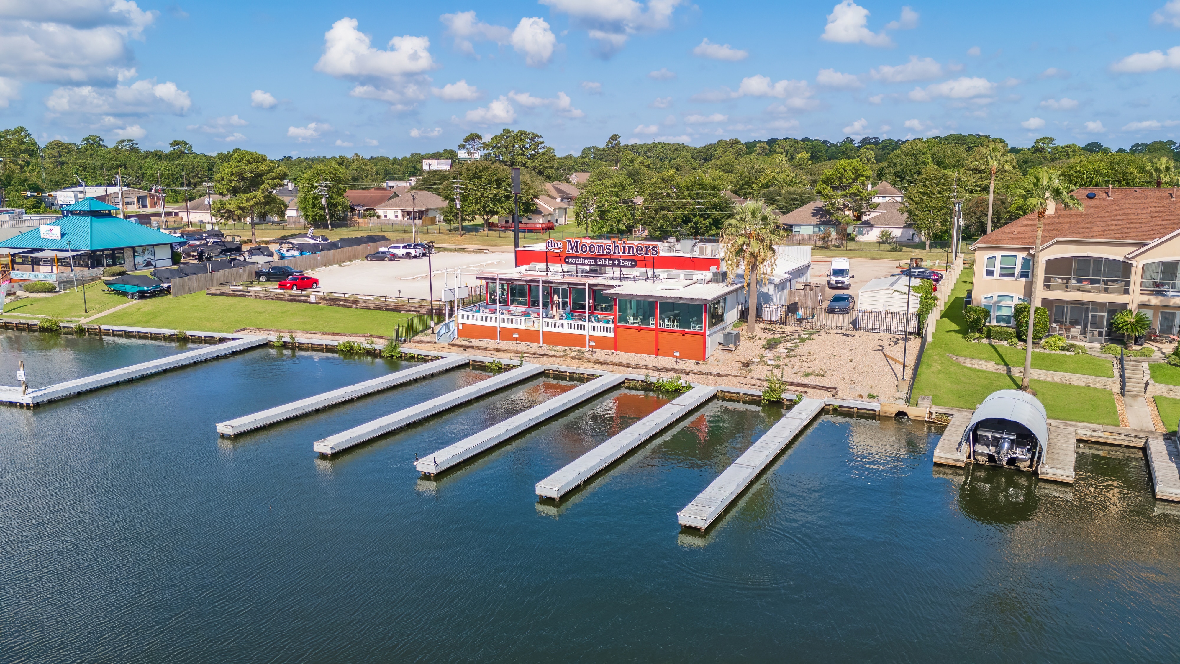
Aerial photography in Houston showing how a property connects to the surrounding area and city context.
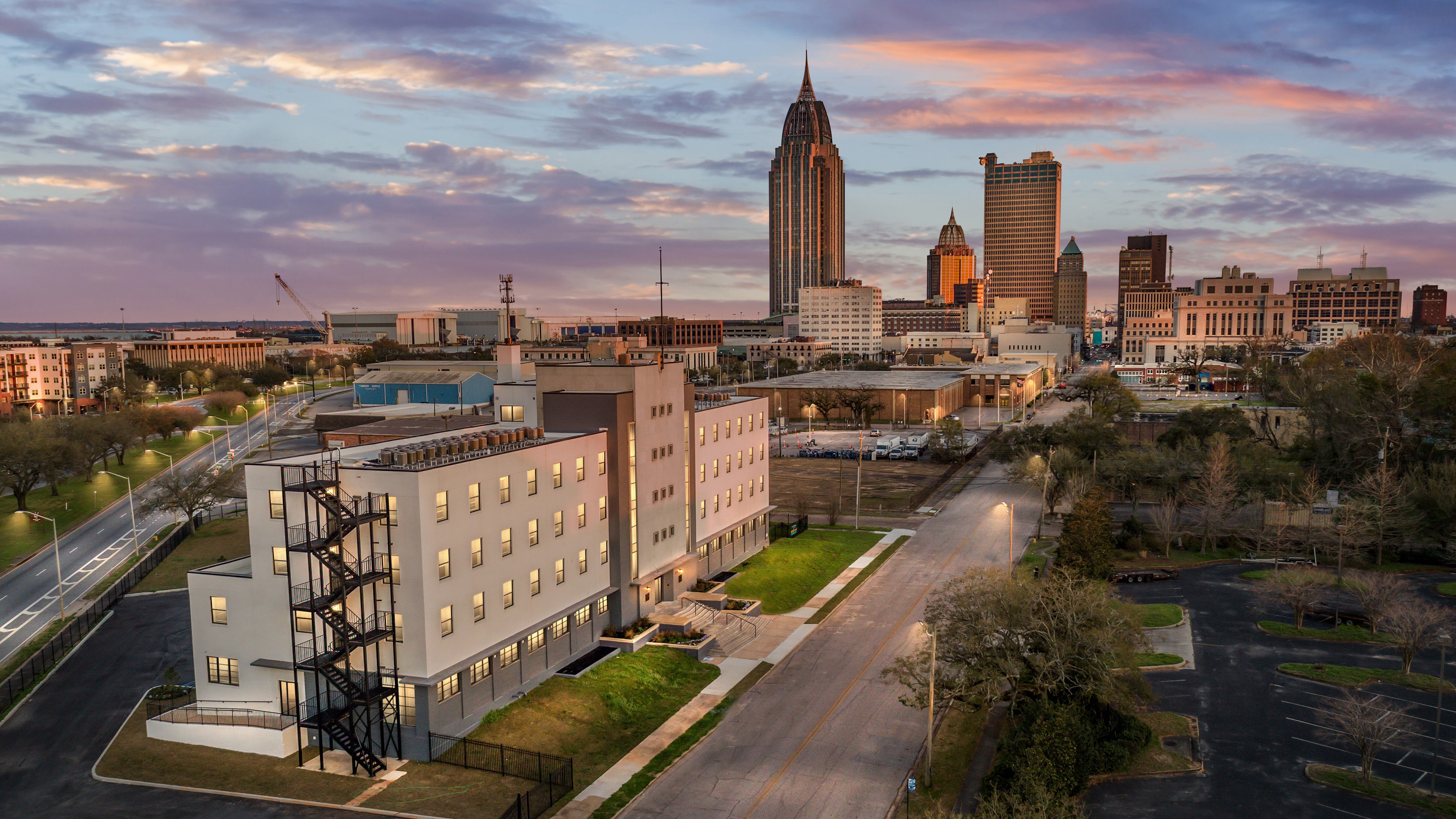


Aerial photography in Houston—capturing properties in context, from individual sites to the surrounding city.

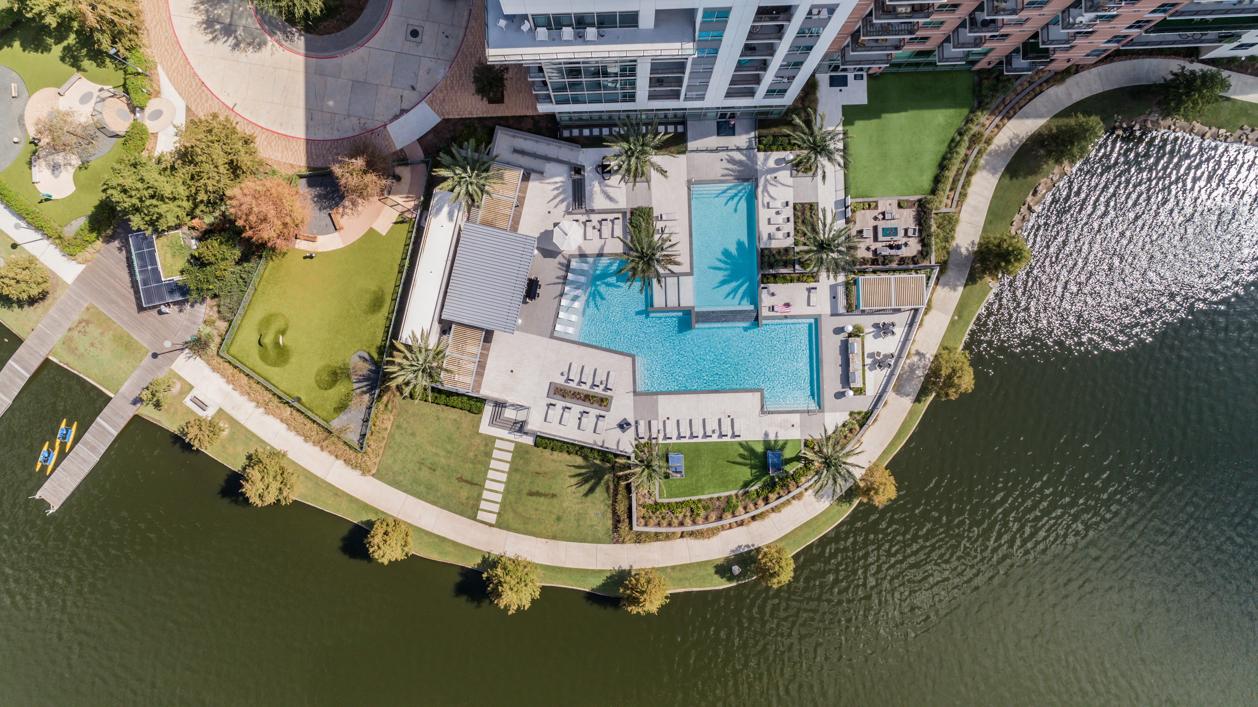

Houston Real Estate Photography
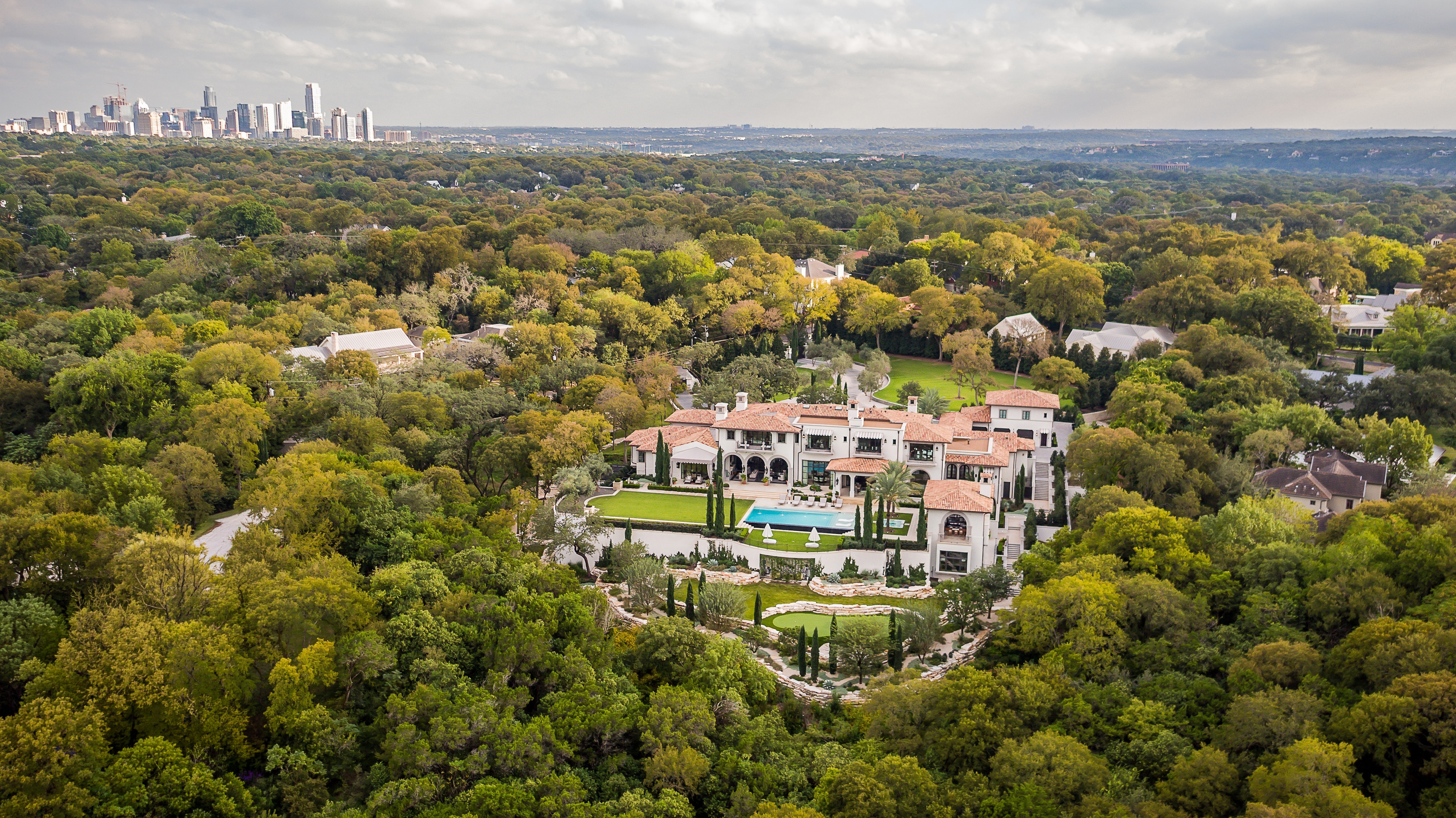
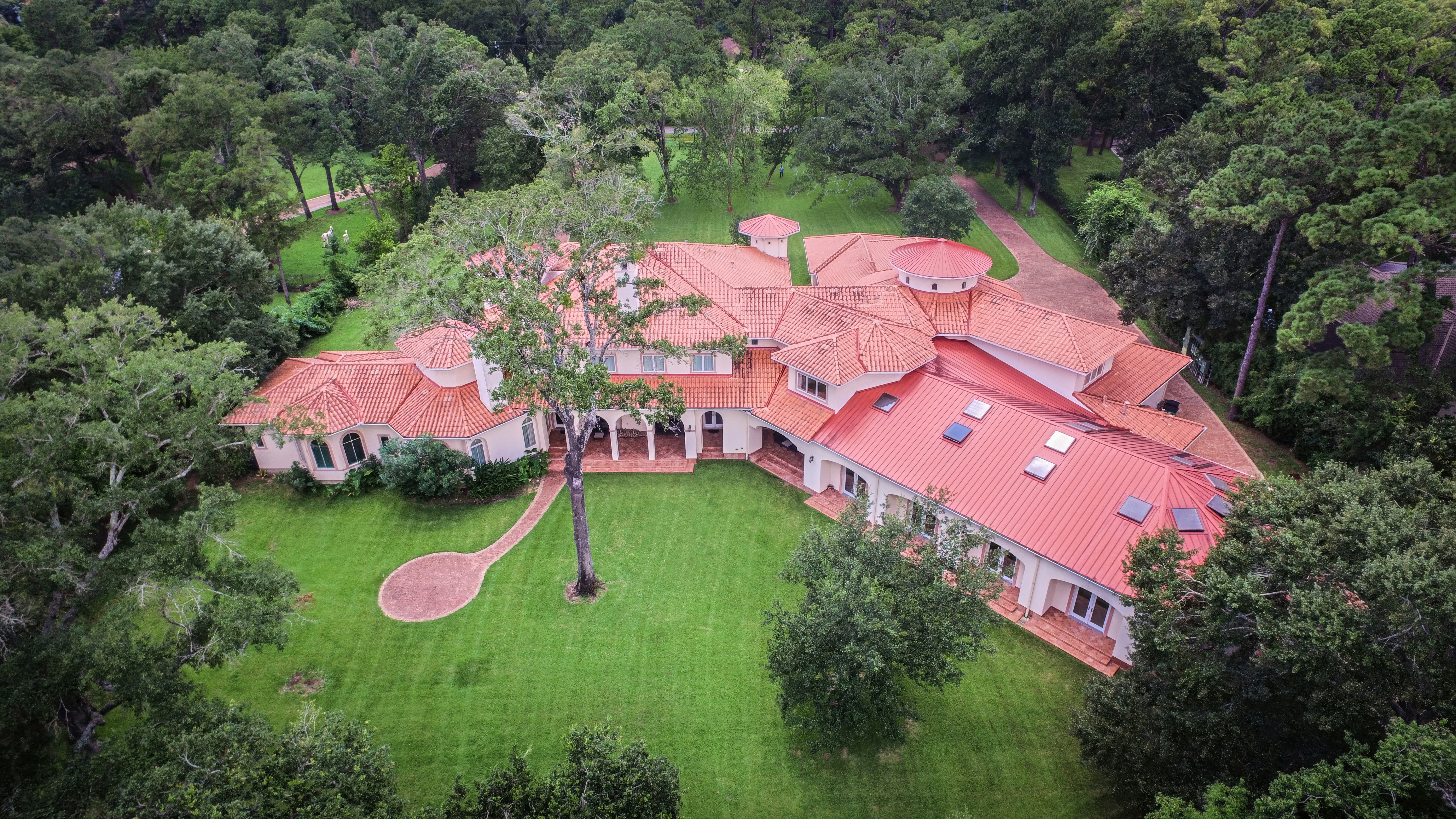
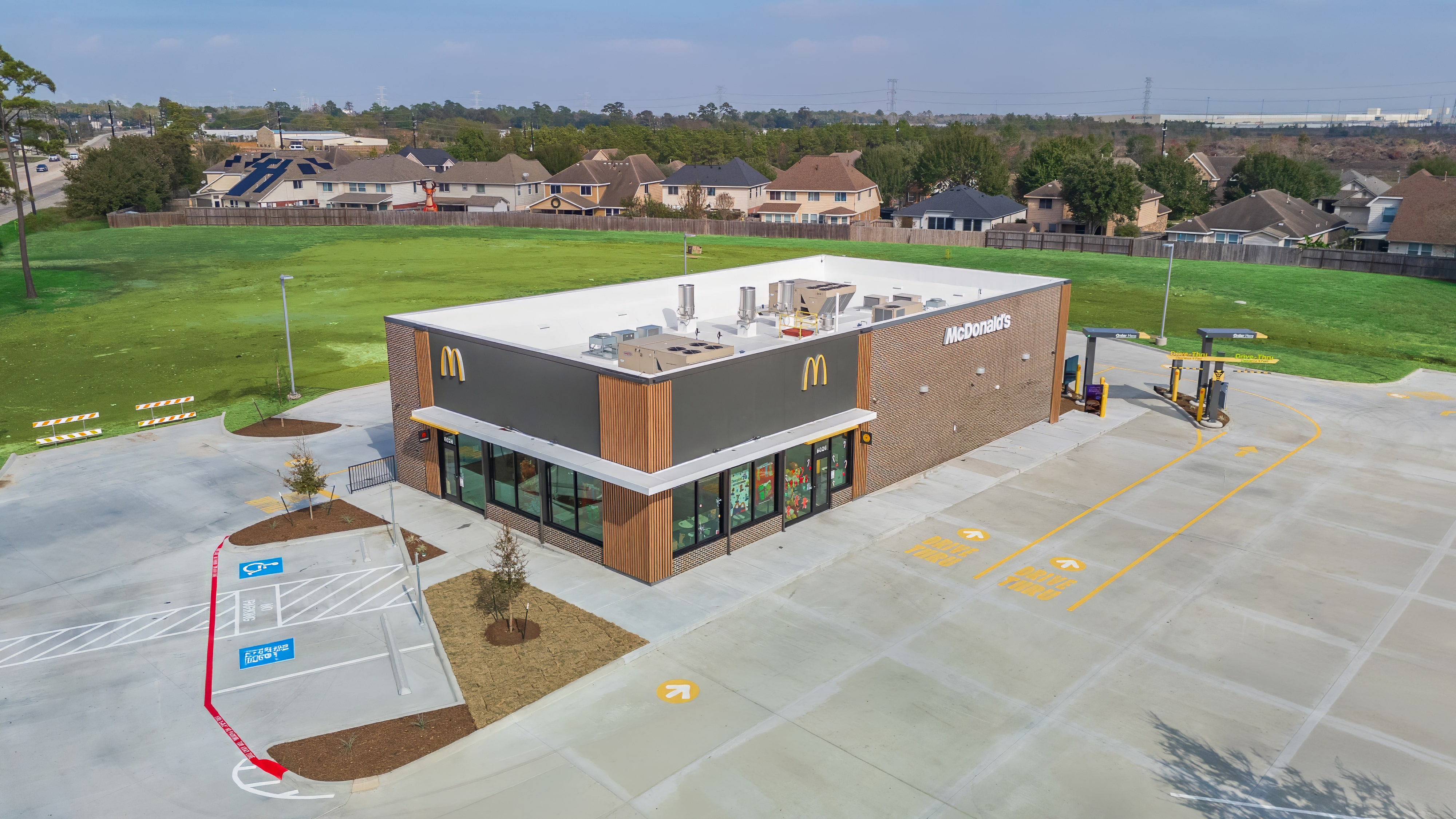
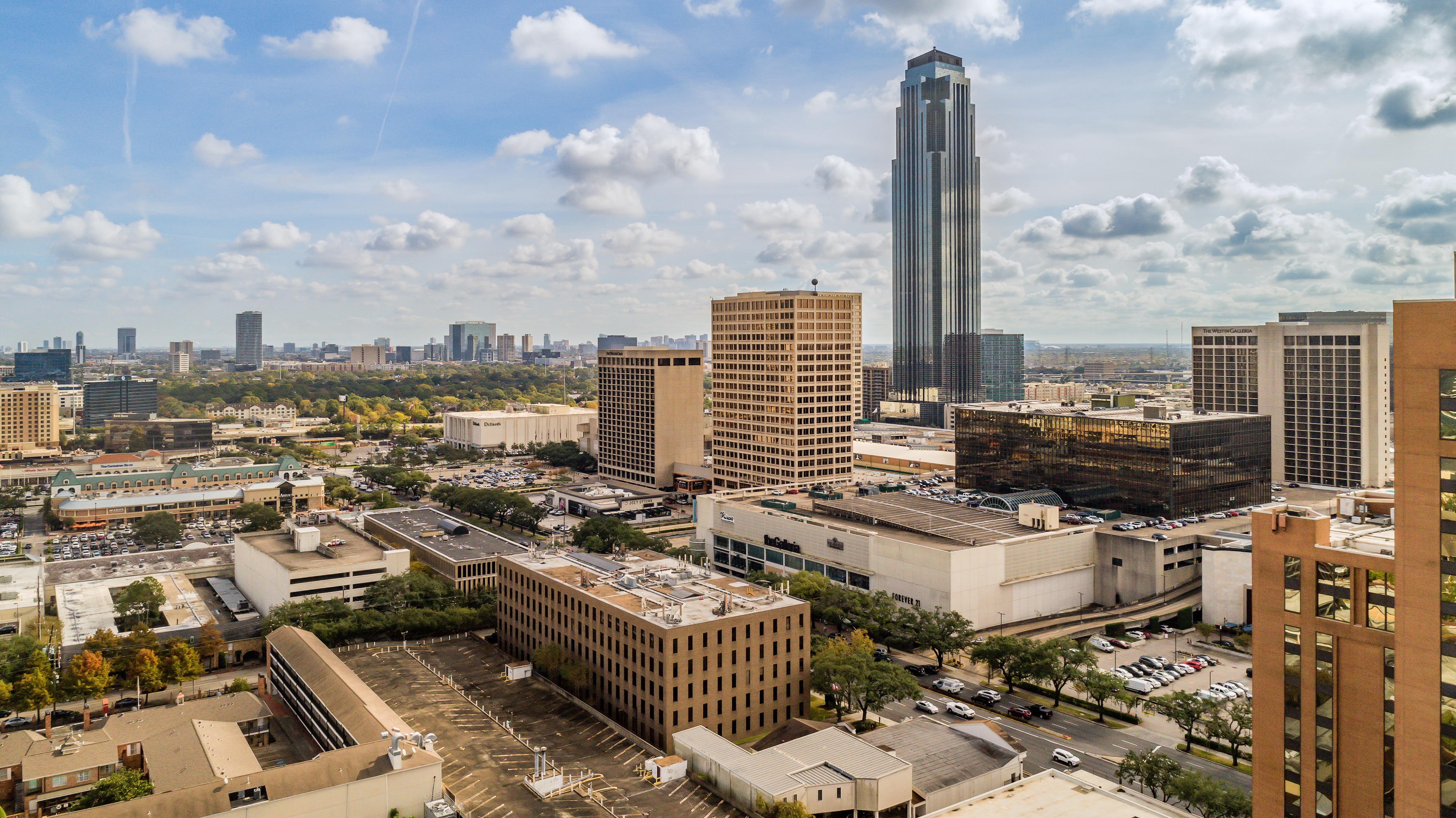
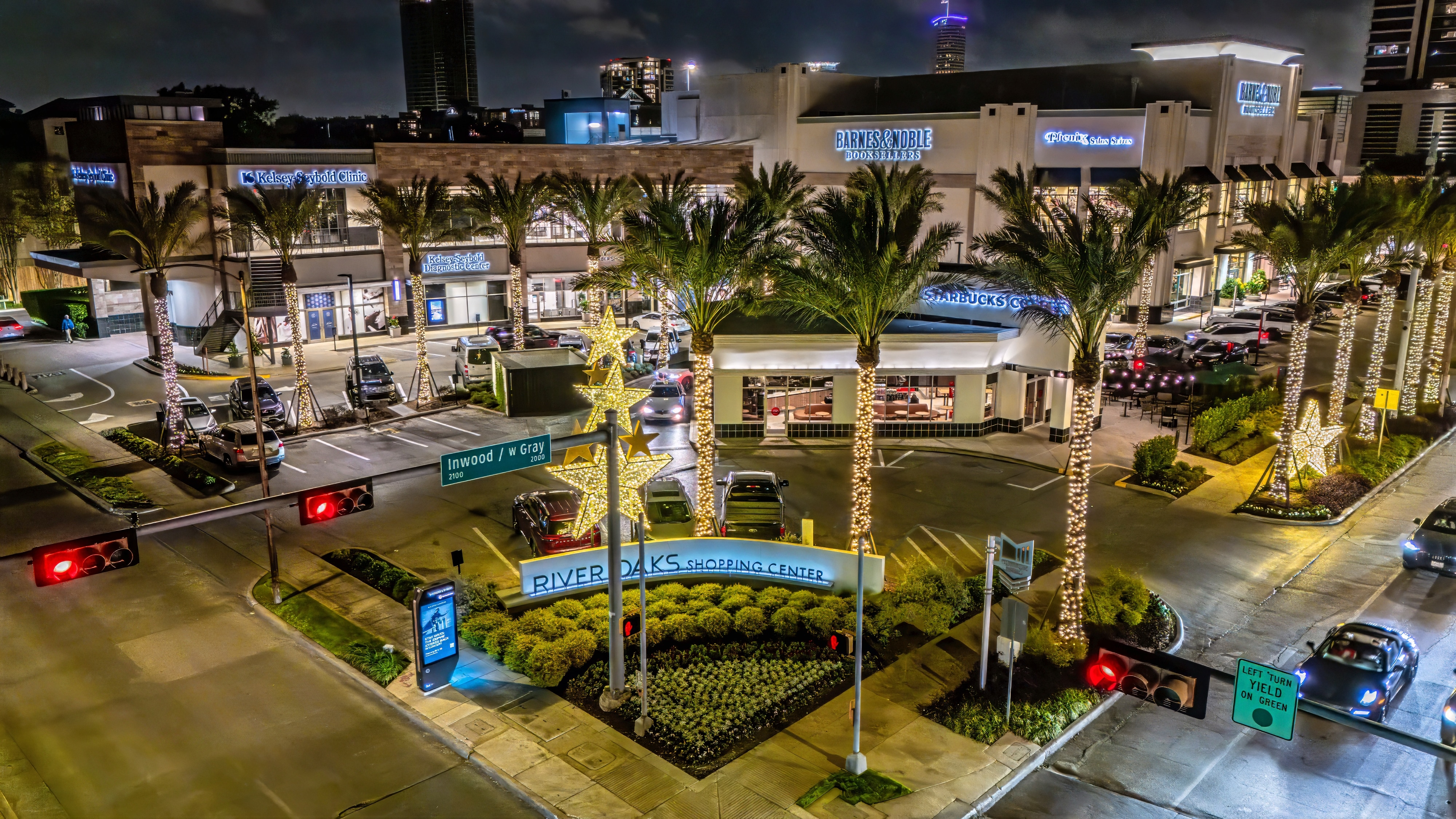
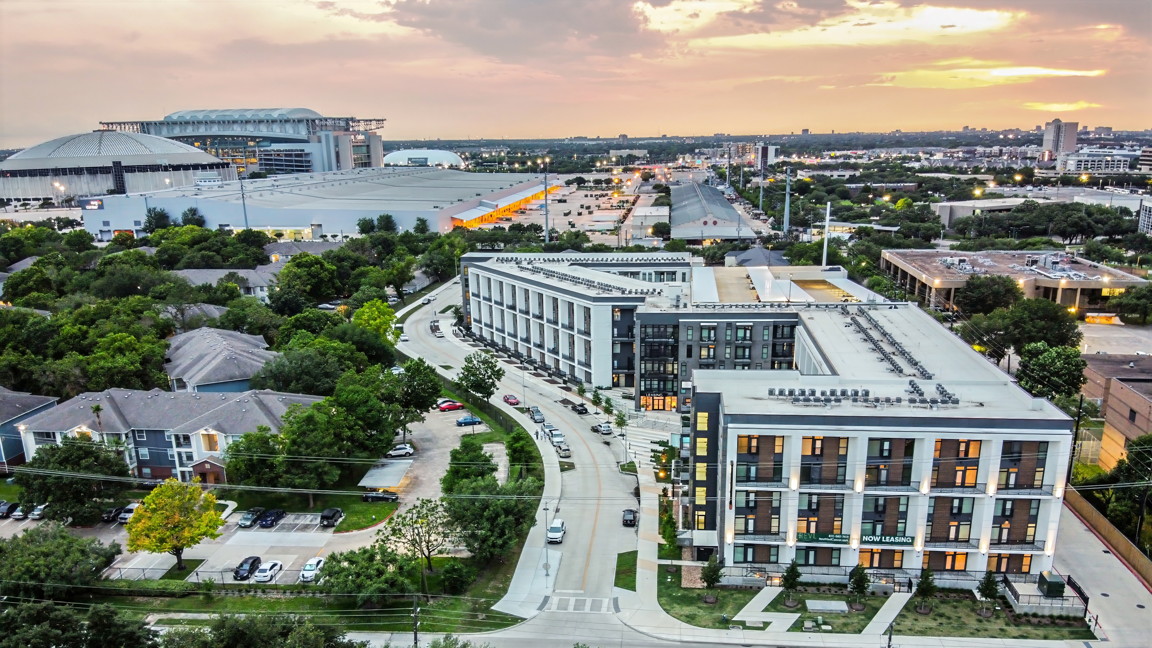
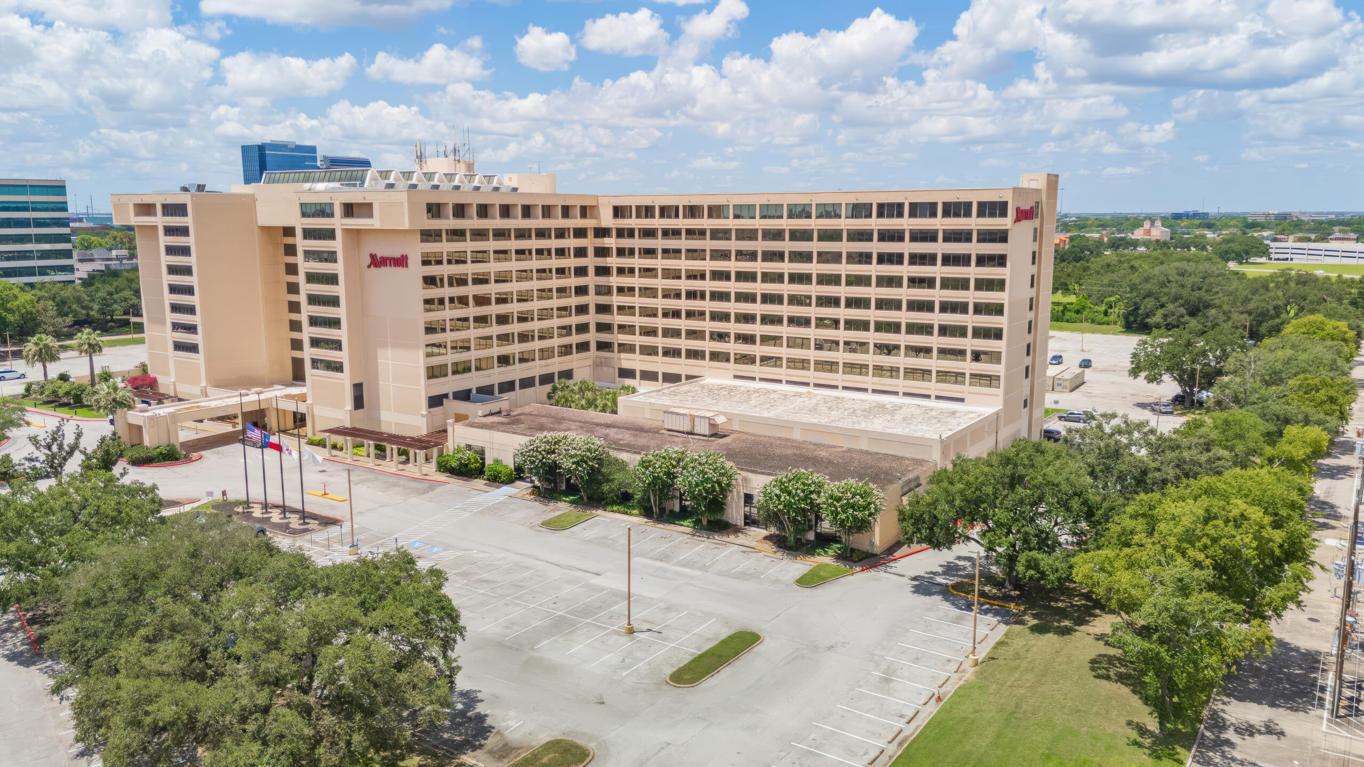
Aerial photography in Houston showing how a property connects to the surrounding area and city context.
Aerial photography in Houston—capturing properties in context, from individual sites to the surrounding city.